The Northern Plains


The Northern Plains
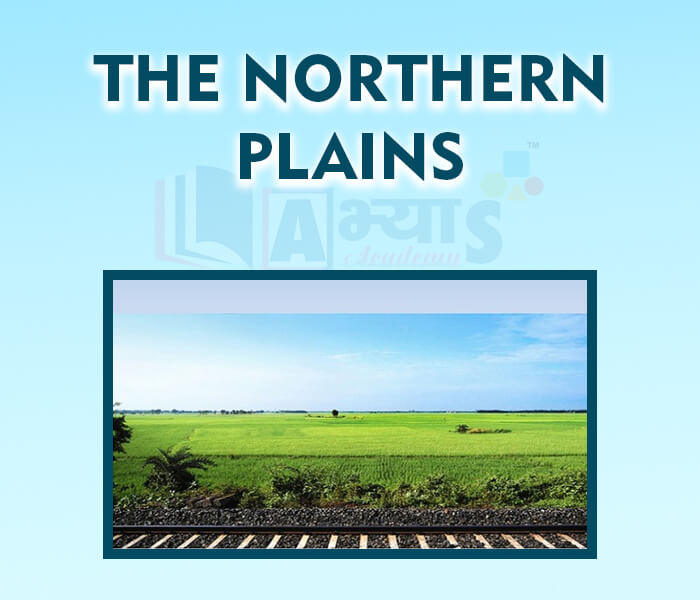
This plain is formed by three river systems, viz the Indus, the Ganga and the Brahmaputra, along with their tributaries. This plain is formed by alluvial soil. It spreads over an area of 7 lakh sq km. These plains are about 2400 km long and between 240 and 320 km broad. They are densely populated due to the fertile soil, adequate water supply, favorable climate and terrain. The rivers originating from the Northern mountains slow down due to the gentle slope, which results in the formation of Riverine islands. Majuli is the largest inhabited Riverine island in the world and lies in the Brahmaputra river. The rivers split into a number of channels in their lower courses due to deposition of silt. These channels are called distributaries. They are common features of river deltas.
Parts of Northern Plain:
The three parts of the Northern plains are:
Regions of Northern Plain:
Along its width, the Northern plain is divided into four regions according to variation in relief feature as follows
1. After descending from the mountains,the rivers deposit pebbles in a narrow belt of about 8 to 16 km in width lying parallel to the slopes of the Shiwaliks. It is known as Bhabar belt. All the river disappear in the Bhabar belt.
2. South of Bhabar belt, the streams and rivers re-emerge and create a wet, swampy and marshy region known as Terai. Earlier it was thickly forested with a lot of wildlife, but now most of the forests have been cleared for agriculture land and to settle migrants from Pakistan after independence. Some forest still remains here. Dudhwa National Park is located in this region.
3. The largest part of the Northern plain consisting of older alluvium and known as Bhangar. It presents a terrace like feature and contains calcareous deposits known as Kankars.
The lowest region is the flood plain known as Khadar. The soil here is renewed whenever there is a flood (almost every year) so this area is fertile and best for intensive agriculture.
A narrow belt of about 8 to 16 km in width laying parallel to the slopes of the Shivalik is known as | |||
| Right Option : C | |||
| View Explanation |
The Northern plains are formed of ___________________ | |||
| Right Option : C | |||
| View Explanation | |||
Students / Parents Reviews [10]
Being a parent, I saw my daughter improvement in her studies by seeing a good result in all day to day compititive exam TMO, NSO, IEO etc and as well as studies. I have got a fruitful result from my daughter.

Prisha Gupta
8thIt was a good experience with Abhyas Academy. I even faced problems in starting but slowly and steadily overcomed. Especially reasoning classes helped me a lot.

Cheshta
10thOne of the best institutes to develope a child interest in studies.Provides SST and English knowledge also unlike other institutes. Teachers are co operative and friendly online tests andPPT develope practical knowledge also.

Aman Kumar Shrivastava
10thA marvelous experience with Abhyas. I am glad to share that my ward has achieved more than enough at the Ambala ABHYAS centre. Years have passed on and more and more he has gained. May the centre flourish and develop day by day by the grace of God.

Archit Segal
7thMy experience with Abhyas is very good. I have learnt many things here like vedic maths and reasoning also. Teachers here first take our doubts and then there are assignments to verify our weak points.

Shivam Rana
7thAbhyas is a complete education Institute. Here extreme care is taken by teacher with the help of regular exam. Extra classes also conducted by the institute, if the student is weak.

Om Umang
10thAbhyas Methodology is very good. It is based on according to student and each child manages accordingly to its properly. Methodology has improved the abilities of students to shine them in future.

Manish Kumar
10thIt was good as the experience because as we had come here we had been improved in a such envirnment created here.Extra is taught which is beneficial for future.

Eshan Arora
8thI have spent a wonderful time in Abhyas academy. It has made my reasoning more apt, English more stronger and Maths an interesting subject for me. It has given me a habbit of self studying

Yatharthi Sharma
10thAbout Abhyas metholodology the teachers are very nice and hardworking toward students.The Centre Head Mrs Anu Sethi is also a brilliant teacher.Abhyas has taught me how to overcome problems and has always taken my doubts and suppoeted me.